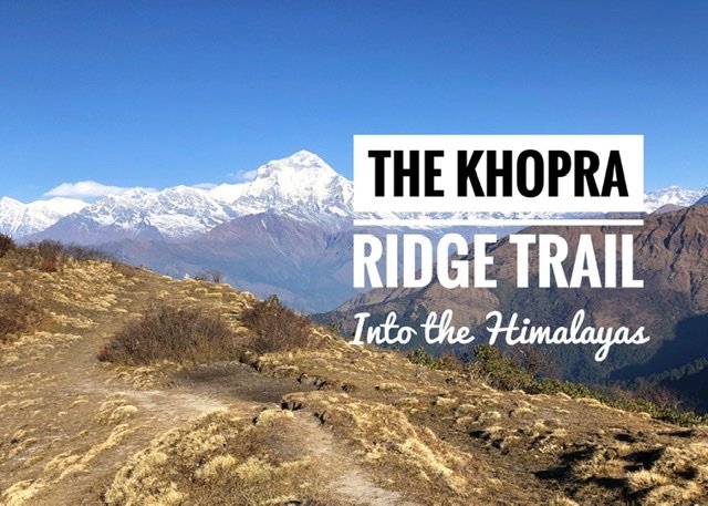
Mandy remembers spinning her new globe at age seven and being awed by all the “bumpy” bits on the round sphere indicating mountains. Among those bumps was one country that fascinated her more than any other…little Nepal because it was seemingly ALL bumps. At that age, she vowed to go…to Nepal…on the basis that it was cool and bumpy. Regardless, it’s probably the longest running unchecked item on her bucket list.
While Nepal has proven to us that it is not exactly all mountainous, getting into the Himalayas was undoubtedly a cornerstone of our two-year jaunt around the world. Traveling to Nepal though is all about timing, only during a couple times of year is it “promising” to get clear skies… yet as we quickly learned the pesky and ominous clouds, along with the vista avoiding utilitarian trails that make up most trekking routes into the Annapurna make it tricky even in “clear” November so see the peaks.
We settled on the Annapurna region because it’s relatively easy to access and trek independently (most thankfully to our beloved Mapy.cz app for helping guide the way.) For those of you perhaps wondering, no…this is not where Everest is located in Nepal. We wanted to steer clear of the heavily trafficked, popular, and much longer Annapurna Base Camp trail. So, after reading guidebooks and several blog posts, we opted for the lesser known, but quite new, Khopra Ridge trail which would take us on a 7 day loop. It also seemed like a reasonable amount of time for us Himalayan amateurs to keep out of trouble.
Prior to the Trek: We scheduled three nights in Pokhara, the most obvious and logistical jumping off point, to take care of pre-trek essentials which included buying our “TIMS” permit (which is how Nepal keeps track of everyone in the mountains) and paying our ACAP (Annapurna Conservation Area Permit) fees. These permits were by far the most expensive part of the trek…($87 for both of us.) in Pokhara we stocked up on snacks and rented two knockoff North Face sleeping bags ($1 a bag/day. Those bulky bags took up the majority of our backpack, in addition to our bare minimum amount of clothes. Everything else we left with our hotel in Pokhara for safekeeping until we returned.
Day 1: Nayapul to Tikhedhunga — Distance: 9.2 km Time: 3.5 hours Ascended: 327 meters Descended: 798 meters
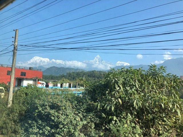
The morning of our trek we departed from Baglung Bus Park to head the two hours north on a relatively easy local bus ride to the town of Nayapul. Evidently, this ride should cost around 100 Nepalese Rupees ($0.90) per person, but we were again inconveniently charged triple. Something we’ve since learned is that in Nepal, it pays to negotiate EVERYTHING upfront…even something which should be standard like a bus ride. Prior to this day clouds had blocked any Mountain views, but now the first day we saw glimpses of the Annapurna range and it did everything to boost our spirits! We were so ready to hit the trail and sweep these electrical lines out of the picture.
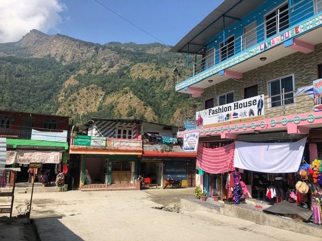
The village of Nayapul is a great place to grab lunch or last minute essentials like heavy Tibetan-inspired masks, brass singing bowls, or clunky stone jewelry. We chose to walk on because it was only about 10:30, (and we’re not crazy enough to ADD to our packs at the start of the trek.) Some also take a hired Jeep from this point to the official start of the trail.
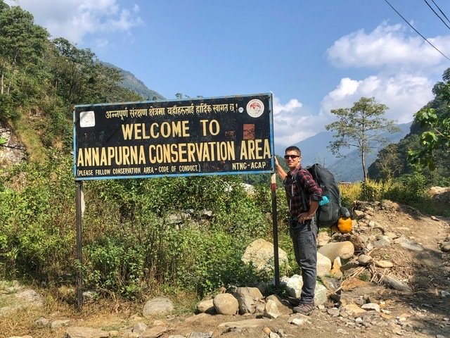
Greg, our porter by default and also glutton for punishment, poses at the park entrance.
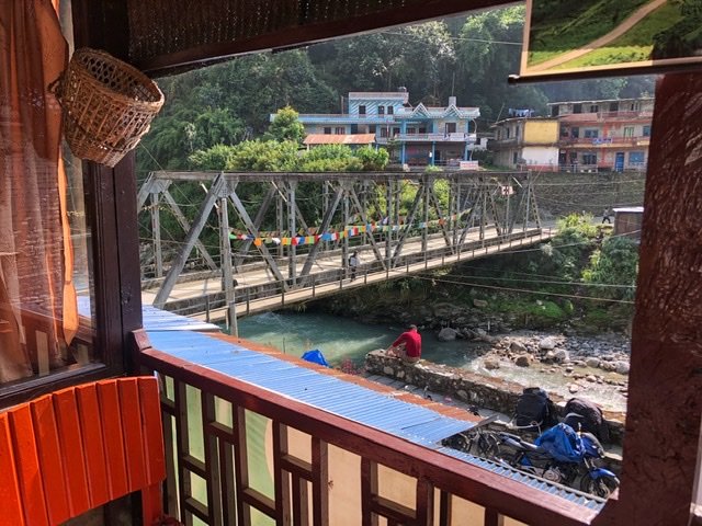
We arrived to the town of Birethanti in an easy, flat 1.5 kilometers. There we had to pay a 100 rupee questionable “village fee,” and have our permits checked. We then realized we’d made a mistake in not grabbing lunch earlier because as soon as you cross this bridge, everything doubles in price.

We learned quickly that the menus are regulated along the trekking routes and that each community establishes a set menu and prices, which made the only difference between establishments quality, and not price. This certainly makes it easy because it encourages everyone to only buy food from the tea house in which they are staying. Not surprising, the further you go up in altitude, the more expensive the menu items are. The delightful Nepali standard prix fixe menu item, Dal Bhat, was 450 rupees at our first stop ($3.92) and 650 at our highest ($5.66.)
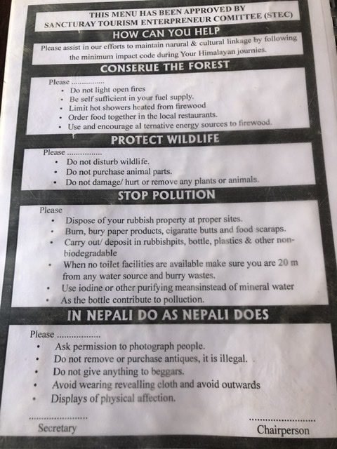
We also immediately noticed the admirable conservation efforts the region is trying to put in place. Litter bins were prevalent, and it was strongly encouraged to use a filtration system and not buy bottled water, as plastic is not even recycled in Nepal. Our UV steripen, or light saber, as it’s fittingly nicknamed on the trail, did a very good job for us and we were thrilled to have it.
The first day we took 2.5 hours to amble through adorable villages and gradually uphill…
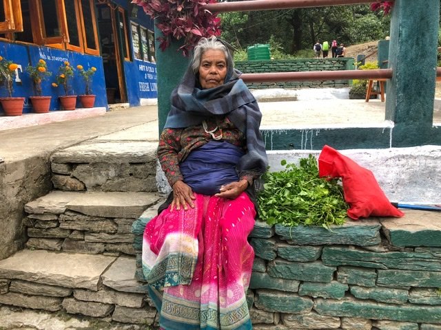
…and even meet some cute Nepali grandmas along the way. We shared our dried mango with her. She clearly had no clue what it was and seemed quite confused when it all clumped together. But when she put it in her mouth, we loved seeing her little grin from the mysterious sugar-dipped fruit.
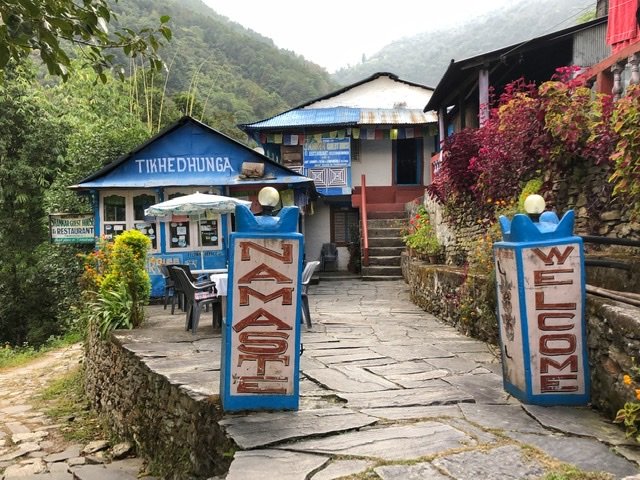
We arrived to Tikhedhunga after an easy first day ascending about 500 meters.
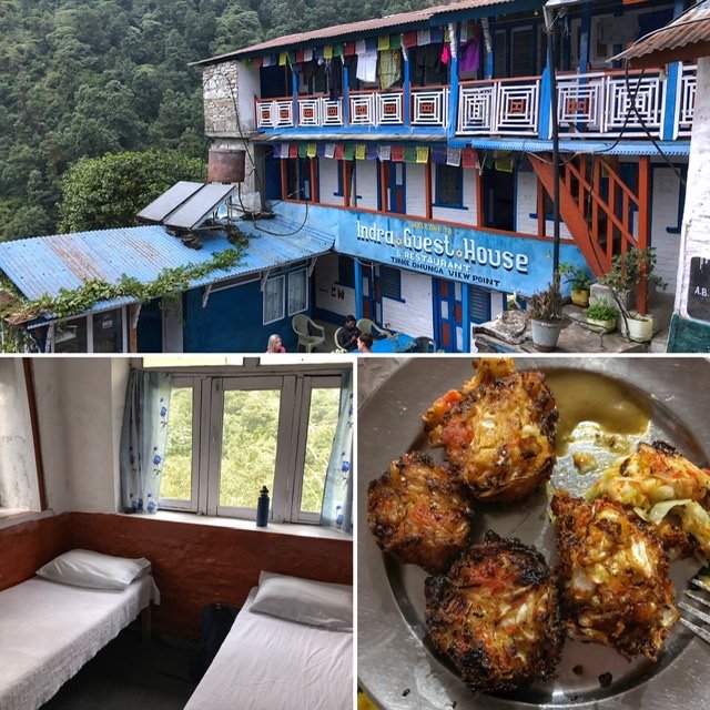
Here we snagged a place at Indra Guesthouse and paid the least amount…ever in our lives…for a room at 200 rupees ($1.76.) Let us repeat…we paid $1.76 for a room for both of us. Nepal. Is. Cheap. The basic accommodation is standard among tea houses, and usually includes a pillow and heavy blankets. Showers (if you want it hot!), WiFi, and charging your devices are often extra, although…insider tip…everything seems negotiable except food. You can usually score a bargain basement price on the room if you agree to eat all meals at the guesthouse. We usually rotated our meals between veg chow mein, veg pasta, veg dal Bhat and veg pokouda (pictured, kinda like a fritter.) Notice a theme? Yep, Greg has joined Mandy on the vegetarian bandwagon. If you saw what they do to the animals and meat here, you might reach a similar conclusion. ?
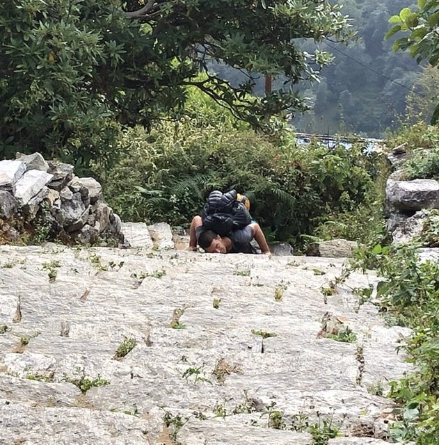
Day 2: Tikhedhunga to Ghorepani — Distance: 9.5k Time: 9 hours Ascended: 1500 meters Descended: 238 meters
The day of endless punishing stone steps, 1380 meters (4527 feet) worth in elevation gain which, for us, was basically like taking a flight of stairs to the top of Mt. Saint Helens. Greg, who had the misfortune of being our mule, keels over for your enjoyment as well as in protest.

However, those who deserve serious accolades are the Nepalese porters. We could not believe the monstrosities those men, (and even some ladies) who averaged about 5’5 lugged up the mountain on their heads. That’s right…look closely…their heads. The only straps are those around their forehead. They are carrying all that weight on their necks and head! The porters carried construction equipment, giant tubs of food/water/beer, or tourist’s overpacked luggage. Each porter carried on average 2-3 full-size duffel bags and/or backpacks, we even saw a roller bag once! We couldn’t help but wonder…how on earth can people bring that much luggage on a trek, and why it obviously didn’t occur to some that it would be a human being who would be carrying all their overpacked bags. Seriously, if anybody out there plans a trek like this, please consider packing lighter, or leave something at your hotel before setting off! It’s wonderful to give them jobs, but the looks on the porter’s faces showed us they were suffering and not necessarily enjoying the work.
Side note on porters…prior to the 1950’s there were no cars in Nepal. The first cars were disassembled and carried into the country in pieces…by porters. There weren’t even petrol stations to fill up at! Since then, things definitely got out of hand quickly. Today, in the Kathmandu Valley the combination of volume of vehicles belching black smoke, dirt roads, brick making, and open burning of garbage and charcoal has contributed to the worst air quality and smog we’ve ever experienced anyplace, and has given Kathmandu the seventh worst air pollution in the world.
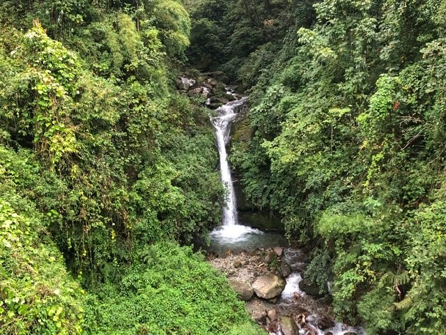
But, back to the fresh clean mountain air! And passing some lovely scenery along those stairs.

And at long last, after 7 hours of step-step-step hiking we arrived to village of Ghorepani. Most groups of tourists plan an overnight visit here, with a sunrise side trip up nearby Poon Hill before turning around and going back to Pokhara. The Poon Hill side trip hike involves waking up at 04:00, paying an entrance fee, and then joining the stampede of other tourists as you all trudge an hour up stone steps to a lookout a top the hill. If you are lucky it’ll all be worth it and you’ll get a lovely cloud free sunrise vista over the Himalayas. However, since the weather was cloudy when we woke at 04:00 we wisely bypassed the stampede, and opted to do our own sunrise walk on to the the next destination, where it was less crowded.

In Ghorepani, we stayed at a wonderful lodge called the Glacier Hotel, which it turned out was the best tasting food of our trek, by far. We endearingly nicknamed the sweet and supremely jovial lady who ran the Glacier, “Chickie Lady” because we sadly failed to catch her real name and because of her collection of newly hatched chicks she obsessively nursed beside the warm fire. She made it clear to all that these chicks were for “egg only…NO cut!!” The poor chickie had enough torture when Mandy, a through-and-through city girl, tried to hold her first chicken…ever.
“Chickie Lady” also served us our first Raksi, which the Nepalese will tell you is “a homemade Himalayan wine and Sherpa fuel.” It is not a wine, however, but a distilled spirit made from millet. Likely a mild 40-60 proof. The Raksi, is certainly an acquired taste, and for us was worse than the homemade Raki (fruit brandy) which we had done our best to avoid during our time in the Balkans.
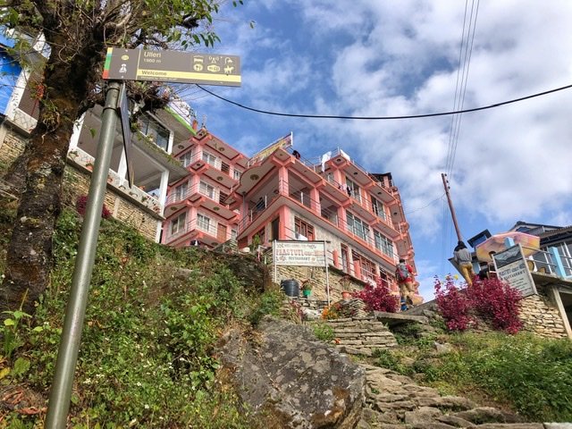
Day 3: Ghorepani to Evergreen Cottage (via Swanta) Distance: 8.2 kilometers Time: 4 hours Ascended: 874 meters Descended: 553 meters
Continuing our uphill journey into one helluva trekker town, Ghorepani. We couldn’t believe the size of the crowds nor guesthouses!
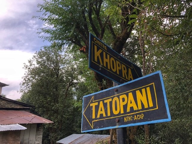
That said, we were thrilled to veer off the heavily trafficked Ghorepani-Nayapul Annapurna Circuit and head toward the more remote Khopra Ridge.
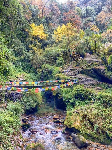
Off the main Annapurna Circuit trail the forest cover quickly thickened and the prayer flags were an ever present reminder that we were in Nepal. And…it was also a very pleasant surprise to see fall colors!! All this greenery was certainly beautiful, but where were the mountains?! Even on this, our 3rd day, we had yet to get even a glimpse of mountain scenery. We were also now going downhill, which only seemed to unjustly take us further from our goal.

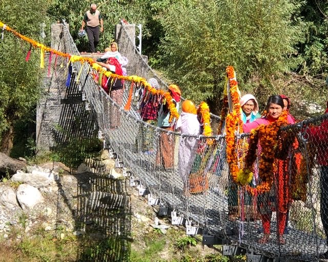
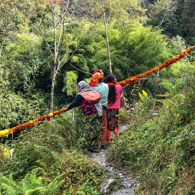
Plummeting down, down, down to a river (and undoing all the ‘up’ we did the day before) where we stumbled upon a unique occurrence…which we believe was a funerary ceremony??? Although we didn’t see evidence of a body, we do know it is quite common for Hindus to cremate their bodies and put the ashes into a waterway. We witnessed a group of ladies down by the river’s edge putting clusters of marigold petals in the water and perform what seemed to be a cleansing ritual.
They then strung an immense(!!) garland of marigolds and other flowers, which must have taken hundreds of hours to make, across the river. They were all very friendly to us, although we did feel very awkward and intrusive to be ogling their ceremony. if anyone has information about this We’d love some insight on what was actually happening.
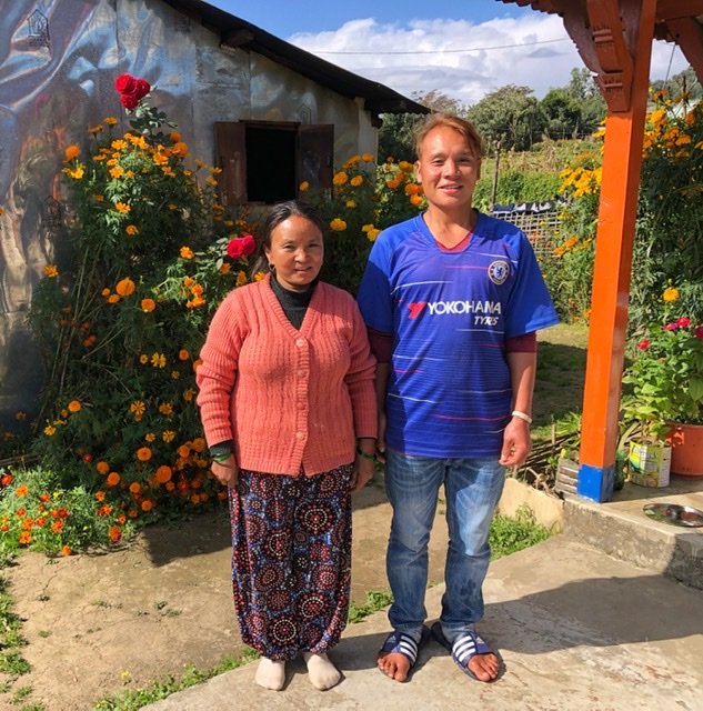
After observing the ceremony everyone left and we began yet another ascent up a hill to village of Swanta. It was here we met “Giggles”, and her giddy son at, the aptly named, Happy Valley lodge. “Giggles” unfortunately couldn’t speak a lick of English, but she chuckled hysterically at everything and nothing. She had a truly admirable garden out back and even though cannabis grows wild in Nepal, we’re thinking there must have been some giggle-inducing substances planted within her garden somewhere…
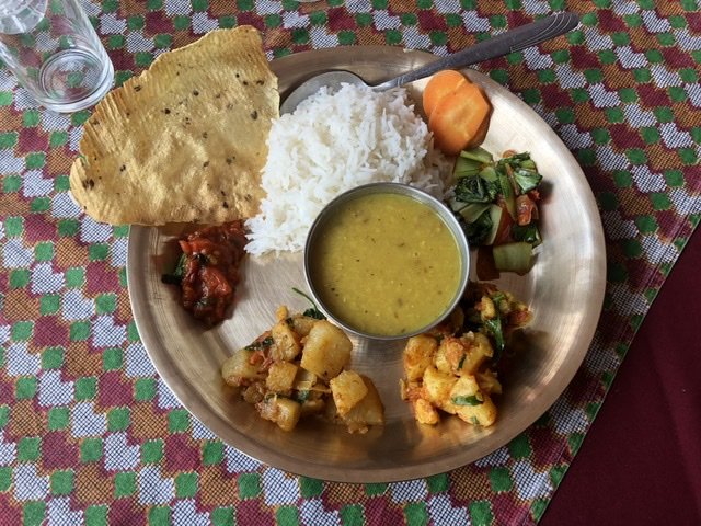
And for the record, that garden also fed us a deliciously fresh Dal Bhat for lunch that day.
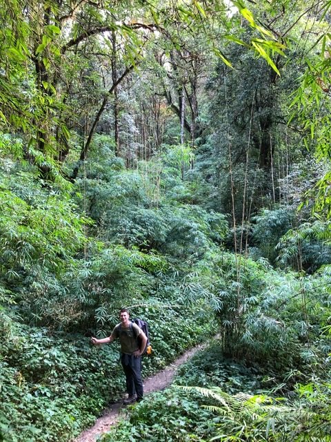
From there, we continued on deeper into the endless jungle.
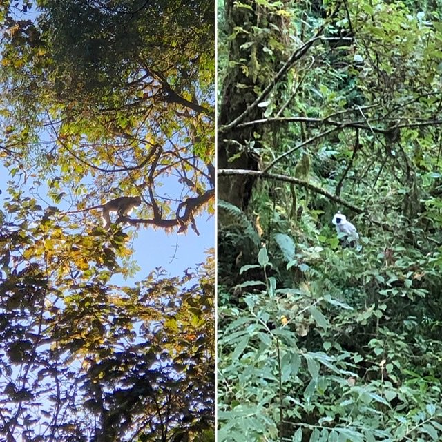
At least we had some entertainment…
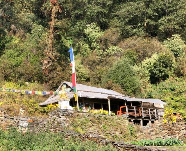
Arriving at the Evergreen Hidden Cottage after a couple of hours, we contemplated bedding down there for the night instead of pushing on an hour further up a very, very steep incline to Dhan Kharka. While standing here taking a breather, a beefy British bloke came barreling down the trail, out for a “light” evening jog apparently, he asked where we were headed. He then told us that all the rooms in Dhan Kharka were already fully booked for the night and people were sleeping on floors and in tents. He was heading downhill to Swanta. We groaned. Thanking him for the info, we hoped that the Evergreen Hidden Cottage would have a room for us instead. Well, it wasn’t so hidden, but the staff who seemingly worked there were. In fact, all we saw was an wide open restaurant with straw walls, and a tiny ramshackle shed in the back. Where’s the… cottage?
Well, now we were in a bit of a conundrum. After waiting around awhile for the staff to show up we considered our options, as daylight was fading fast. Maybe just sleeping there on the meager Evergreen (Not) Cottage floor or on a bench could work? Maybe the absentee staff will show up with a bed? Or, we could backtrack two hours down the trail we just climbed up, to Swanta. Knowing the status of our knock-off “North Face” craptastic sleeping bags, we knew we’d likely freeze staying at Evergreen so we reluctantly decided to just backtrack to Swanta. Better to tackle the known than unknown.

And on the way down, we were rewarded with our first peep of a real peak, which the next morning was as clear as a Himalayan bell. This was just a tease however, we didn’t see the peak again for another full day of trekking!
Day 4: Swanta to Dhan Kharka — Distance: 5 kilometers Time: 3.5 hours Ascended: 900 meters Descended: 130 meters
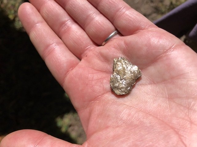
In the morning we had the ultimate do-over, climbing back uphill the same trail we did the day before to Dhan Kharka. But this time we wised up, and phoned ahead to one of the tea houses to reserve a bed. Lots of sparkly silicate rocks caught our eyes along the way.
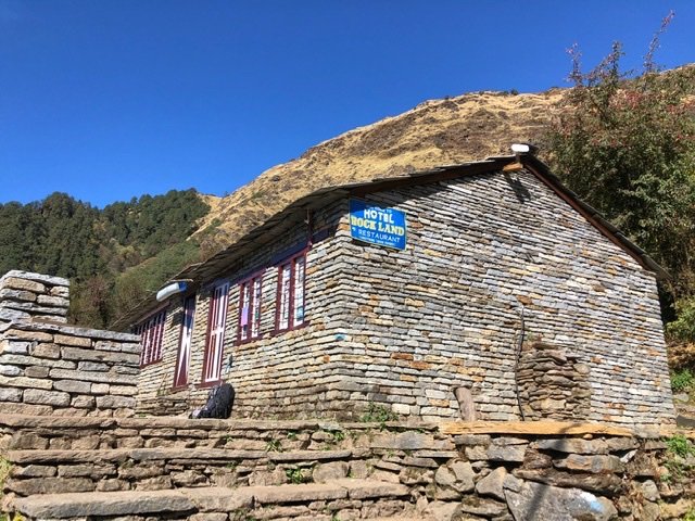
We arrived at Hotel Rockland to claim our reservation at about 10:30 am, managing to snag the last room in one of the two guesthouses for the night. From here we were faced with a new dilemma. Our goal for this trek (like everyone’s) was to get to the Khopra Lodge for day 5 which, of course, is…where the views are!!!
Unfortunately for us, and lots of other unfortunate trekkers, there is only one guesthouse in Khopra and was completely clogged with large tour groups for the next two days. These large groups apparently get priority over lowly independent trekkers like us. Booo!! And also, these groups always stay two nights to hike to spur trail to a 15,000 foot lake, (like we also wanted to do.) So there was no calling ahead for this one. Anyway, this whole mess just creates a massive bottleneck for all the nearby lodges and independent trekkers to deal with. So, we had to make the hard but pragmatic choice to skip trying to make it to Khopra.
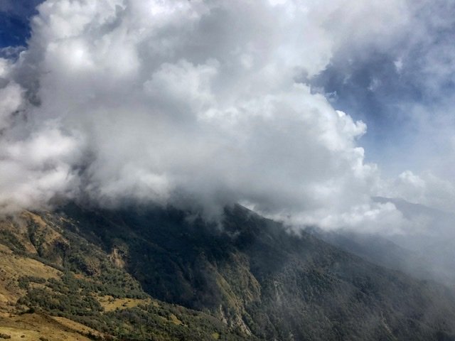
Instead, while it was still clear, we tried to do a “quick” three hour day trip to Khopra in the hopes we still get our view as a conciliation prize. But, that plan got dashed about an hour in as we quickly got socked in with a canopy of clouds. More Booooo!! We knew continuing uphill was completely pointless now, so we turned back down to Dhan Kharka at 2984 meters.
Day 5: Dhan Kharka to Bayeli — Distance: 5 kilometers Time: 3 hours Ascended: 714 meters Descended: 248 meters
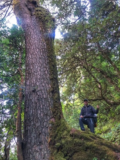
We began day five feeling frustrated. Moral was low. Our goal to Khopra dashed. Our bodies were pummeled. And after four solid days of climbing it felt like we were caught in a bowl of foothill soup never managing to rise up out of it. Just poo-poo ridges to clamber over then plummet down a ravine to cross a tiny bridge and then go back up the other side to another ridge to clamber over with no view. Here Greg tried to get excited about the big rhododendron trees.

Nice waterfall, but that’s it…where’s the jaw-dropping big stuff?

After we hit our low for the day, literally and figuratively, we began climbing yet again. And, The sky began to clear! No snowy peaks, but it was a start! And look! Our first yaks. We had tested the cheese two days before (hard and a little bland like Parmesan) but this was our first time meeting the cheese originator.

Up…and up…and up. And at last…that spectacular moment arrived. Finally! Above the ridge line!
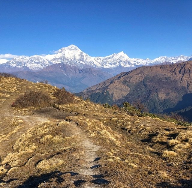
It may not be Everest, but the seventh tallest mountain in the world, Mt. Dhaulagiri, is no small potatoes. Coming in at 8167 meters (26,794 feet) it towers over Denali, which at 6190 meters/20,310 feet was the biggest mountain we had seen prior.
With renewed optimism at the bright clear day that was before us, we decided to snag a room in the tea house of Bayeli instead of pushing on to Dobato just so we could gaze at this view the rest of the afternoon. Within about an hour, however, the clouds crept in and stole our hard fought view away. But we were okay with that, because now we at least knew that the peaks were actually there!
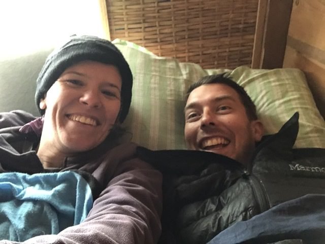
That night, was our highest sleep of the trek at 3450 meters (11,300 feet.) And it was…cold! So cold we decided to share a twin bed, used both our provided doubled-over blankets, and our futile sleeping bags. Can’t you see Greg’s elation to sleep in this cocoon with his squirmy wife!
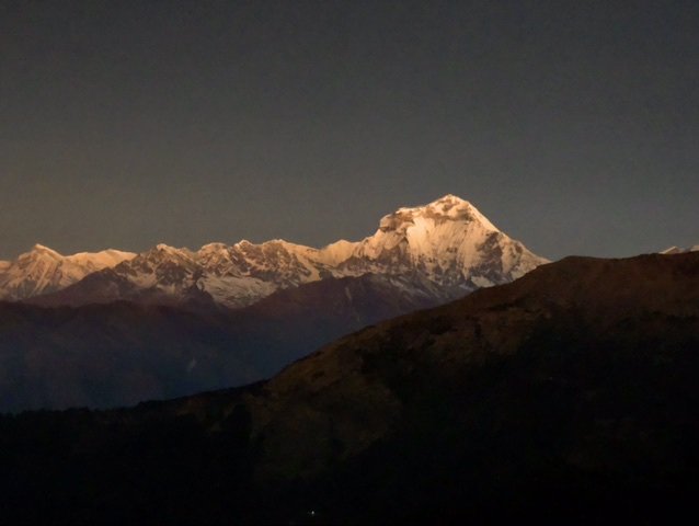
Day 6: Bayeli to Tadopani — Distance: 8.2 kilometers Time: 3 hours Ascended: 180 meters Descended: 965 meters
Up at 05:15 to ensure we could make the 30 minute hike with enough time to catch the 6:25 sunrise peek over the mountains. Dhaulagiri, which we had admired briefly the day before was also up to greet us with an absolutely breathtakingly cold, crisp twilight.

We giddily raced down the trail in the hopes that we’d finally, after 6 days of trekking, get to the top of the ridge line just in time to catch Machhapuchhare, or Fishtail Mountain, in her fully sunrise glory at around 6:25.
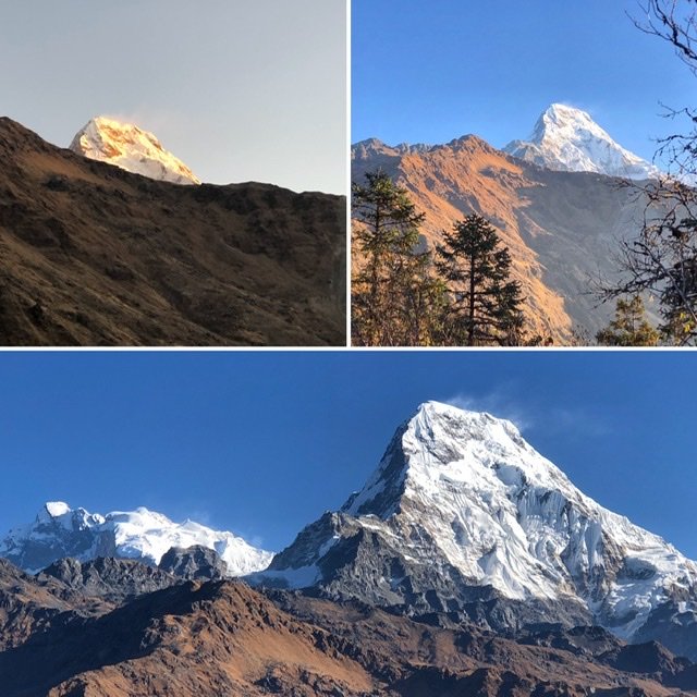
In the beautifully soft morning light, we also began to see “little” South Annapurna (101st in world) peer her head out from behind the ridge. She continued to emerge timidly as we approached the next village of Dobato a little over an hour hike later. Also, bigger and much more lethal Annapurna I (10th in world) popped up behind to show off. Why lethal?! It’s the hardest mountain in the world to climb. (Some argue K2 is harder.) In fact, Annapurna currently has a fatality to summit ratio of 38%! Yes…this means 38% of the people who attempt to summit it die. To put that in perspective, the fatality rating for Everest is “only” 3.9%.

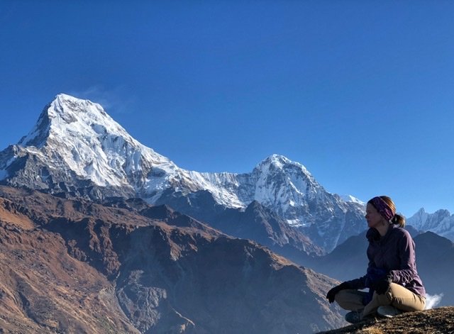
We didn’t like our chances of trying to climb Annapurna unscathed, so we instead decided to hike a steep 30 minutes up a side trail to Mulde Peak at 3637 meters (11,932 ft.) from Dobato. From here, the whole range immaculately opened up and simply took our breath away.

At last, this view made every drop of sweat and achy battered bodies from the last six days worth it. Plus, it’s all downhill from here.
Mandy breathes deep while taking it all in.
Epic beauty.
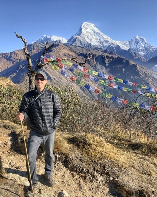
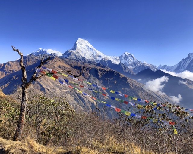
Our quintessential Himalayan photo shot…Prayer flags dance in the breeze in front of South Annapurna. Prayer flags are used to promote compassion, peace, strength, and wisdom. They are also used to carry prayers and mantras through the wind. Each color symbolizes an element: Blue—the sky, White—the air, Red—fire, Green—water, and Yellow—earth.

Coming down from Mulde Peak, we were ready for a nice warm breakfast at one of the guesthouses in Dobato. The view out the window was unparalleled.
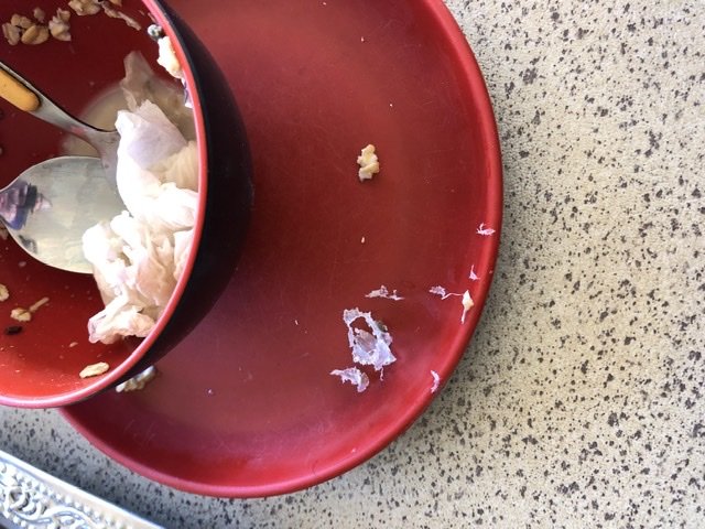
The food…hmmm…maybe not so much. We were horrified to find multiple pieces of grated plastic in our muesli. This was not the fault of the guesthouse, per se. Quite disturbingly, it had been manufactured by the factory in this way. Wow. Is plastic taking over this world or what?! ?
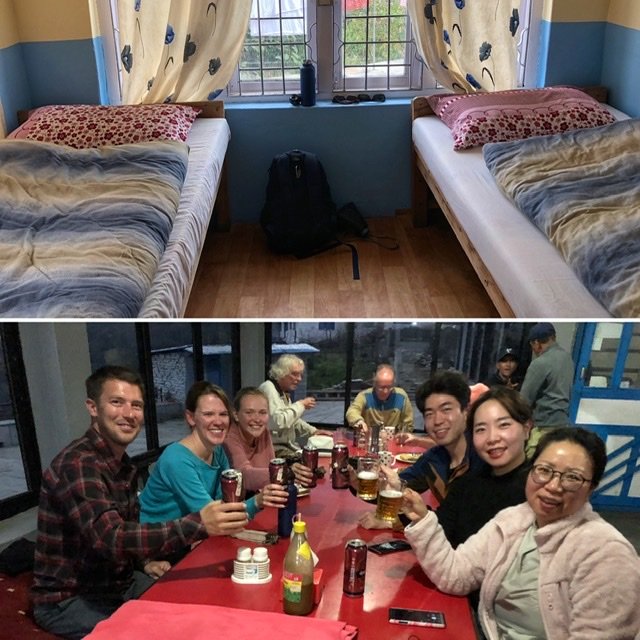
For our last night on the trek, we slept in the village of Tatopani. While here, we became best friends with a group of Koreans on their first major trek experience, and a vivacious solo gal from Germany (but who sounded Australian.) Jade, one of the Korean guys, was kind enough to buy all of his newfound trail friends a round of beers. In the mood to celebrate, we very eagerly accepted his big-hearted offer.
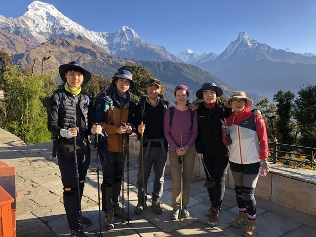
Day 7: Tatopani to Ghandruk — Distance: 6.8 kilometers Time: 2 hours Ascended: 86 meters Descended: 840 meters
In the morning, clear skies again(!), and another jaw dropper for us to pose under with the Koreans.
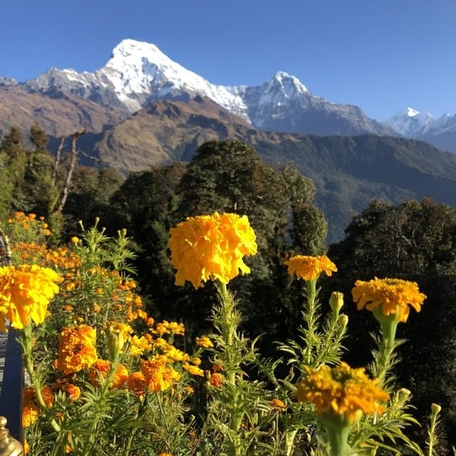
Because it wouldn’t be a trek without this stereotypical snap.
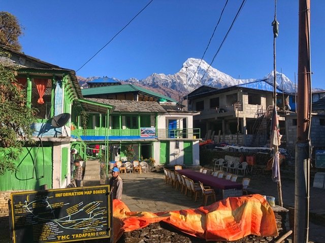
The village of Tatopani had a undeniably phenomenal backdrop.
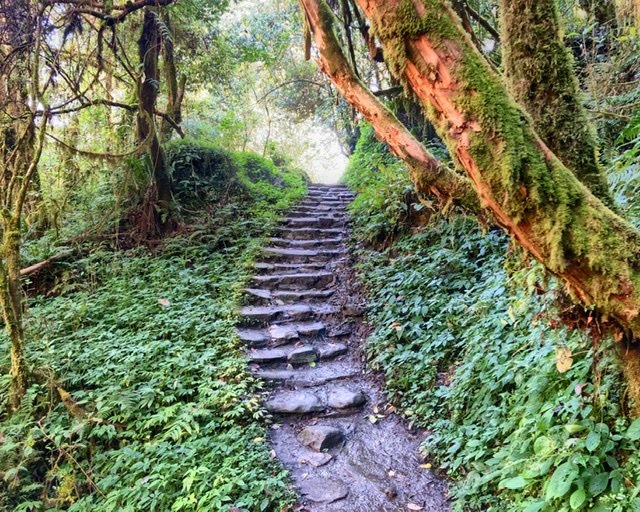
Only a tiny bit of uphill on this section. The majority was down, down, down.
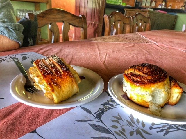
When we arrived to Ghandruk (also with stellar views), we celebrated (again) with treats from a German bakery.
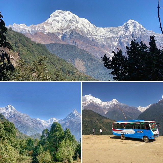
The peaks from Ghandruk, where we took a local bus from back to Pokhara to take our trek full circle. After some haggling, the bus was 1000 rupees total ($8.80), and much cheaper than the tourist friendly jeeps which wanted 1000 each person. Now we just had to survive the rickety, harrowing, impossibly winding four-hour ride back down the mountainside to Pokhara. But we rode feeling accomplished, we had hiked the Himalayas!
Final Budget for Two People: 24,050 Rupees ($211) for six nights/7 days
TIMS and ACAP fees and permits: 10,000 rupees ($88)
Accommodation: 2000 rupees ($17.59)
Food: 8870 rupees ($78)
Showers: 400 rupees ($3.50)
Snacks: 1520 rupees ($13.35)
Sleeping Bag Rental: 1260 rupees ($11)



This is my favorite recap so far of your adventures. I felt like I was reliving your trials and triumphs. So glad you finally got those spectacular views. Sounds and looks totally worth it!
Hugs!
Yeah, being a hiker too, I know you can relate. Thanks so much for your comment 🙂 Look forward to chatting soon! Hugs,